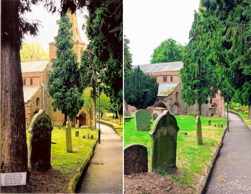
This undated image of St Nicholas’ Churchyard, was provided to KHAS from the collection of the late Reg Palmer. It shows the path running down from the High Street from the north-west towards the Norman west door of St Nicholas’ Church, which was rescued from the Abbey and inserted into the church’s tower by Robert Dudley, Earl of Leicester, for the visit of Queen Elizabeth I.
The age of the path is not immediately obvious. It’s not explicitly shown on the Estate Map of 1692 by James Fish, although a gep between the houses on the south side of the High Street is shown, perhaps implying that access to the church yard via this route was possible. Later Ordnance Survey maps, such as the OS 25 Inch, 1892 – 1914 map, do clearly show the path was established by those dates.
Little has changed between the ‘then’ and ‘now’ images, save for the disappearance of the redwood tree and sign in the foreground and the growth of the trees to the rear, which now obscure the spire from this angle.
