Rob Steward’s book The Inns and Roads of Kenilworth (Odiborne Press, 2000) records that the ancient brook side trackway that would later become Lower Ladyes Hills was improved by the Enclosure Award of 1756, where it is referred to the be description “One other footway leading from the North side of Odiborne Bridge along the… to the Poor’s Plot near the Wood Mill of the breadth of four feet”.
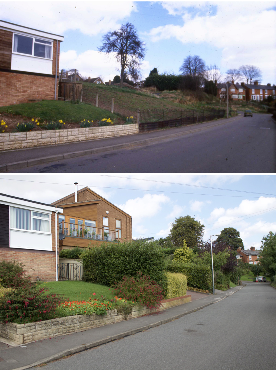
According to A Portrait of Kenilworth Street Names (Rookfield Publications, third edition in 2015) by Robin Leach and Geoff Hilton, Lower Ladyes Hills (initially called Lower Ladyes Walk) became a private road in 1866. The area was a sun trap used for the growing of strawberries. The mid-sixties ‘then’ photo shown here shows the infilling of some of those strawberry fields with new housing. The ‘now’ photo was taken in approximately the same location in September 2016.
Harry Sunley tells us in A Kenilworth Chronology (Odiborne Press, 1989) that the development of Upper Ladyes Hills commenced in 1848. This included the filling in of a thermal spring, the cause of many a damp cellar in the area, no doubt. The area along the hillside to the Common, where Lower Ladyes Hills was later established, had been used for horse racing.
As an aside, the 1960s ‘then’ picture was developed as a mirror image of the actual scene for some reason, causing much trouble for myself to try to match the corresponding ‘now’ scene vantage point. After much traipsing around the hillside trying to find the location of the houses in the background it took the eagle eyes of Robin Leach to point out that if the ‘then’ image was flipped then all would become clear!