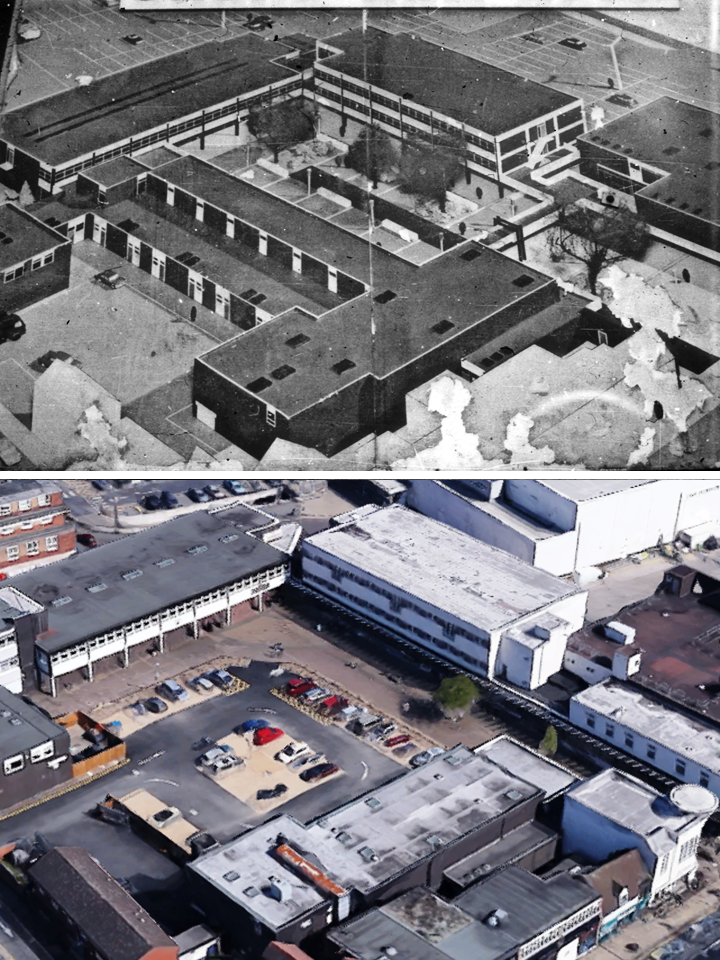
The ‘then’ image above shows a photo of the somewhat tattered billboard that stood at the entrance to Talisman Square as it was being built in 1965. It can clearly be seen in this previous Then & Now pairing showing the building of the square from Warwick Road.
The text of the billboard proclaimed the forthcoming pedestrian shopping precinct and car park, indicating that some shops were by 1965 already open. Talisman Square replaced the old tannery buildings and almshouses which fronted onto Warwick Road, both of which can be made out on this aerial Then & Now comparison.
The ‘now’ photo is taken from Google Maps, showing the equivalent aerial view, taken in 2016. The south and east sides remain true to the original plan, albeit revamped. The north side has been demolished altogether, awaiting rebuilding of larger shop units that will narrow the square to approximately a road width. The West side remains as Boots, extended southwards to form a larger store footprint, and the new greengrocer building has been built into the Warwick Road entrance to the square.
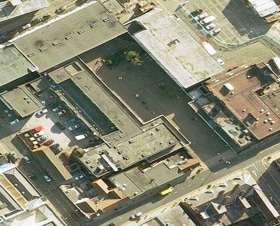
The lesser used Bing Maps view of the scene (below) shows Talisman Square before the revamp, still true to the original design. In the Bing aerial view the preparation and demolition work for the building of Waitrose has begun, with the site fenced off and the excavations commenced for the underground car park.